Recommend me a route down to Domfront

unibar

Active member
UKGSer Subscriber
Joined
Sep 27, 2002
Messages
308
Reaction score
0
The missus has a birthday in April, and some guys i ride with are meeting up in Normandy, so i figured I'd combine the two.
I need to get down to Domfront in a day, any routes recommended generally avoiding motorways?

All and any suggestions welcome.

Paul
 
A bit of a clue as to wich port you be docking at, and where you are traveling from may help people to help you.
 
You have decided not to tell us where you plan on meeting up with the guys or much more importantly where it is you'll leave from in Normandy but you have told us you have to go to Domfront, to meet your wife (it's her birthday) and the month and that you want generally non-motorway roads to join the two up. Don't be too hard on yourself as it's more information than we sometimes get. Even so, I guess that you can see the challenge this sets us but let's see what we can do to help you over the next two or so months before April....

Let's guess that you might be in Arromanches, which is on the Normandy coast. From there to Domfront is 103 km or 65 miles, due south.... and you want, what was it? Ah yes, it was: "Generally avoiding motorways" roads to join the two up. Now comes the first hurdle for us to leap. This simple guess assumes (always fraught with danger) that you mean to go to that particular Domfront. Somewhat annoyingly for you - and incredibly frustrating for bods doing their very best to build you a great generally avoiding motorways holiday route - the French have decided to give more than one town the name, Domfront. For example, there is another one south-south-east of Amiens, which is near enough due east of Arromanches and a lot further. You'll need to start nailing things down, if not for us at least for yourself or chaos will ensue...

LostMan.jpg


I guess that you must mean the Domfront 65 miles south of Arromanches, as your plea for assistance is titled: Recommend me a route down to Domfront 'down' implies southwards, but it's best to be sure.

Worked out where you are starting from and where you are going, now? Great, we are all starting to cook on gas. Let's get you going to see if you can do it for yourself. It's fun, it's free and they can't touch you for it.

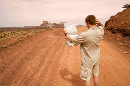
Have you got a map? No? Get one. Yes? Great, mate you have elevated yourself well above the average biker. Now look at it....

1d2b0400ff5ac38dca87706dee5fa921.jpg


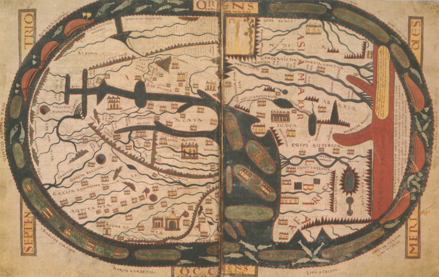
Still stuck, despite map makers' two thousand or more years of dedication to represent the wonders, bends and folds of the three dimensional world around us onto paper?

beatus-medieval-map.jpg


Do not despair, 21st century assistance is just a mouse click away...

Turn on the wonder that is Google. Put in just three simple words: Arromanches (or wherever it is in Normandy you and the guys are staying) to Domfront (do take care to choose the right one) and look at the route that billions of pounds of technology offers up in the blink of an eye. If it suits you, job done. If it doesn't ask it to give you the bicycle or walking routes, as they definitely won't route you down a motorway but the cheeky little devils might send you down a cycle way or footpath. If they do and it absolutely ruins your holiday, sue Google not me, they have much more money. Happy? Great.... but wait.... Be still your beating heart... there's more...

Do the same again in ViaMichelin, as that will give you all the nicely coloured roads. It is absolutely fanbloodytastic. People - by which I mean, bikers - always recommend that all bikers always take the yellow D roads that Michelin has lined in green as they are 'scenic'. I am not always entirely convinvinced it's always the best possible advice but hey, let's not get distracted from helping you with a cracking route of possibly 65 miles. One that you'll remember forever and retell to grandchildren, who will sit in awe...

The_Boyhood_of_Raleigh%20_1870.jpg


Happy or at least happier than you were at 05:13 this morning? Great.... but hang on, there is still more you can do....

Go to the RiDE magazine's webpage, they do routes (by bikers for bikers) around Normandy and lots more besides, some might suit you.

Happiness now approaching danger levels? Yes? Great, mate. Can it be possibly get any better? Well, let's see.... How about the sticky of Michelin routes, try the north-west one, there might be something in there. Really fantastically happy, so much that you want to sing? Yes? That's fantastic, bikermate. Have a great time with the guys...

more-drunk-party-people-part2-04.jpg


and an even better time when you find your wife...

3555993819_0357286a00_b.jpg


.....just a shame it's not your birthday, too...

Richard :beerjug:
 
Richard, you are incorrigible!

Unibar: amid the (admittedly funny) post above are some nuggets of truth, primarily being that start and finish points are almost essential.

Get a Michelin map, look for the green-lined roads, and you won't go far wrong. It's a lovely part of France and, like most of France, the traffic density is such that you can enjoy just about any road on a bike.
 
It's meant to be a gentle(ish) pisstake, I hope it's not going to start WW3. If nothing else, it was fun finding the pictures to hopefully emphasise the joke.

All leg pulling apart, depending on where A and B are, the distance between them and your plan to do it in a day, just pick up a decent detail Michelin map or two and follow the D roads. If these look like they'll take you through village after village after town after village, then your progress might be slow. But, the upside is that you might find somewhere for a coffee. That being said, it's a complete falsehood that every French location with more than two houses has a cafe. It is though completely true that every hamlet of more than five dwellings MUST by law have an optician's and a hairdresser's. Look next time you are out and about en France (as they say) and tell me that I am not wrong. *

You can do it unibar, trust me... you've got yourself to Normandy, after all.


* Credit where credit is due, I am obliged to ChasMill of UKGSer for this nugget from the Napoleonic Code. His sister is a barrister **, so it helps when it comes to these things, no doubt. The knowledge is an essential navigational tool for the self-reliant Adventure biker, too. Rather like knowing that rivers flow downhill and that moss grows on the north side of trees, if you ever wonder if you have strayed from France into Germany (or visa-versa) a quick look at the quality (and quantity) of the locals' coiffure and face furniture will put you right in no time at all.


** Unless he said she is a barista. In which case she is probably Albanian, working in Starbucks, knowing little or nothing about obscure French laws but plenty about avoiding the stout but eagle-eyed knights of Border Force.
 
Richard, as well as the optician and hairdresser, every French village must also have a Pharmacy with sign displaying precisely the wrong time and temperature.
If its illuminated garish green so much the better.
Your post is the best thing I've read all year.
 
It's true, on all counts...... but we are only in January :augie

french-pharmacy.jpg


This one covered the odds by saying it was somewhere between 8am and 8pm.
 
I know everyone's taking the piss - but it is only 70 miles. How much can go wrong in that distance?

Your two basic options are this or that

Personally, I'd take the first route
 
The missus has a birthday in April, and some guys i ride with are meeting up in Normandy, so i figured I'd combine the two.
I need to get down to Domfront in a day, any routes recommended generally avoiding motorways?

All and any suggestions welcome.

Paul


ViaMichelin lists three towns involving the name 'Domfront'

60420 Domfront, which is north of Paris, south of Amiens. This is well to the east of say Arromanches on the Normandy coast, about 195 miles distant.

61700 Domfront en Champagne, which is just north of Le Mans, south of Arromanches, about 100 miles distant

61700 Domfront en Poiraie, which is again south of Arromanches, about 70 miles distant

Of these three, the bottom to a both 'down' from Normandy, whilst the first is 'across' from Normandy.

When unibar tells us:

1. Where he plans on starting from in Normandy

2. Which of the three Domfront named towns he's heading for

No doubt it will be easier to help him wave goodbye to the guys and set him off on a cracking one day's ride, 'generally avoiding' motorways, so that he arrives in fine fighting fettle to celebrate his wife's birthday. If he'd let us know the precise date, we could buy her a card too.
 
Richard, as well as the optician and hairdresser, every French village must also have a Pharmacy with sign displaying precisely the wrong time and temperature.
If its illuminated garish green so much the better.
Your post is the best thing I've read all year.

Perfectly correct - c'est la loi!
 
It is though completely true that every hamlet of more than five dwellings MUST by law have an optician's and a hairdresser's.

Ironically, the optician cannot test your sight, only sell you frames and lenses. For an eye test (and prescription) bods need to visit an ophthalmic surgeon - usually after a six-month wait for an appointment.
 
7 beers made me forget the start point!!.. it'll be Calais to domfront (Orne ),.. then le havre to calais on the way back.
Her Birthday is the 24th April, its not my wife i'm a Londoner missus is a colloquialism. She does like cards though
 
Many happy returns for the day.

Now it's clear. You want a generally avoiding motorways route from Calais to Domfront, Orne (aka Domfront en Poiraie) taking no more than one day, not a route to Domfront that starts somewhere in Normandy.

Just one question, at what time in the morning do you plan on leaving Calais? Some bods are up and rolling at 07:30 whilst others are still struggling to persuade their warm bed to leave them at 10:30. Those that start earlier might finish earlier or have longer for lunch or go a bit less directly between A and B.

The distance A to B is about 300 miles, maybe a smidge further. It's perfectly possible to ride 300 miles in a day along N and D roads in France. The route offered up by ViaMichelin's app isn't bad. Put in 'discovery' and select 'avoid tolls' and 'avoid motorways'. Similarly, the route between your start and end points offered by Google maps in bicycle mode is not too bad, either. Look at these routes against a proper map and then adjust them to suit your needs. For example, when leaving Calais you could take the D940 road that runs along the coast, instead of the D127, which runs south-west but more inland. That though depends on what you want to do and how long you have to do it in.

Richard

PS One tip. When planning a 300 mile route across France to ride in a day, it's often a good idea not to spend all day going left, right, left, left, right down every D road you can find. It can be done of course but it can get tedious if it is peeing down with rain, as it might be doing on the day you set off.

Imagine if you would making a similar 300 mile in a day journey in England. What sort of roads would you take here? Would it be down every goat track you could find? Or would you do it reasonably directly, just using your map to avoid the motorways? You know yourself - and how you ride your motorcycle - better than any of us. Planning a route in France is just the same as planning one here at home. It's easy. If you can do it here, you (and anyone) can do it there.
 
I used to have a cottage near Domfront and found the best route from GB was ferry to Ouistrehan/Caen, then down via Vire. Get an overnight ferry with cabin and you'll be fresh for the Journey. On the way to Caen from the port you'll also pass Pegasus Bridge, the first place liberated in WW2. The cafe there is worth the visit. The journey should take around an hour or so. I used to do it in not much more in a motor home.
 
I used to have a cottage near Domfront and found the best route from GB was ferry to Ouistrehan/Caen, then down via Vire. Get an overnight ferry with cabin and you'll be fresh for the Journey. On the way to Caen from the port you'll also pass Pegasus Bridge, the first place liberated in WW2. The cafe there....

Great, Pete but he wants to go from Calais...
 
I would check sailings from Portsmouth to Caen or Cherbourg from here the distance to Domfront is reduced and give you more time for lunch stops or ride some great roads like the D999 from Saint Lo to Parigny is awesome.
 
Once he has wriggled clear of the crushing embrace of the birthday girl, the D999 (in the reverse direction) might well suit him excellently for his return trip via the guys in Normandy.

Extra bikerbonus point if it is indeed, awesome.
 
Great, Pete but he wants to go from Calais...

Sorry if I missed something but I've just looked at the question again and can't find any mention of Calais.
That said, I must correct my original route, (put it down to age etc!).
Checking on the map, I would now say,
Leave Ouistreham heading for Caen the go clockwise round the ring road until Jn 11. Head South through Laize-la-Ville, picking up the D562 through to Conde sur Noireau. Pick up the D962 through Flers and onto Domfront. Beware in Flers because although it has been 9 or 10 years since I was there, it may be that there are still some "Priorites de droite". Most other places around conform to the normal system that we are used to.
Should you feel the need for a shortish ride from Domfront, may I suggest the D22 to Lonlayl'Abbaye, where great biscuits are made and visits are on offer. From here continue towards St Cornier des Landes, (where my cottage was) but beware of the crossroads at Beauchene. Go through St Cornier towards Tinchebray and just before entering the town turn right towards Chanu. In Chanu is a little restaurant (Bocage Normande, if memory serves)that used to do great 3 course lunches for about 10 Euro. Then back to Domfront along the D809. As I say, not a long ride but a bikers ride.


Back
Top Bottom