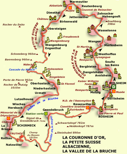
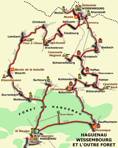
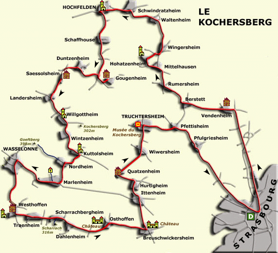
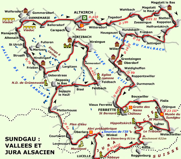
Looking for something else, I tripped over this site, which has some quite nice short(ish) days out. They have well presented maps that would be easy to hack into a GPS route or onto a paper map:
http://www.alsace-balades.bseditions.fr/selection_randonnee_voiture.php
Example:
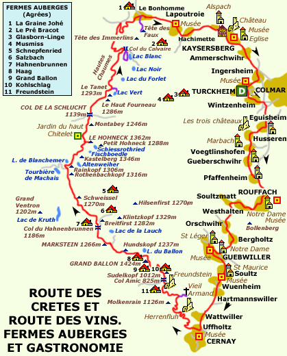
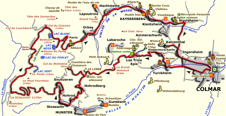
COLMAR, VALLEE DE MUNSTER, CRETES, VALLEE DE LA WEISS
110 kms (70 miles) in two hours or five and a half hours if you bimble, stop to look at stuff etc
Colmar - Turckheim - Niedermorschwihr - Trois-Epis - Le Linge - Col du Wettstein - Le Linge - Hohrodberg - Hohrod - Stosswihr - Soultzeren - Col de la Schlucht - Col du Calvaire - Pairis - Orbey - Hachimette - Kaysersberg - Kientzheim - Sigolsheim - Ingersheim - Katzenthal - Ingersheim - Colmar.
EDIT:
I have now (05 Feb 18) created all 15 routes in a single file. For those that don't want to walk their way down to post #30 here it is:
https://www.dropbox.com/s/vqzhds1951kz6dm/Balades en Alsace - FINAL - 05 Feb 2108.GPX?dl=0
But if you do, you'll miss the website's map drawings of each of the 15 routes and a bit of banter. It's up to you.
Richard
PS As usual, I created the route on a Mac using BaseCamp. I then hosted the file on Dropbox in a .gpx format. This means that it should open straight up in BaseCamp or Mapsource or in any software that is capable of reading gpx exchange files. That being said, sometimes the movement of the file between a Mac and Dropbox changes the file extension from .gpx to .txt This changes it into a text file, meaning that you get a load of text and no routes. Do not panic. Save the file to your computer and rename it by deleting the .txt extension but leave the .gpx bit. All should then be well.
Last edited: