
AS A TIDY-UP I HAVE DELETED THE ORIGINAL POST AND THREAD, CONDENSING THE KEY POINTS INTO THIS FRESH THREAD.
RICHARD
Very kindly, Buttertub’s has shared with me some of his favourite routes in and around the area, along with an explanatory note.
PS When looking at the routes, if anyone has any constructive ideas or suggestions (cafes, ‘must do roads’ and the like) to add to any of them, please do so in the thread. Please don’t though simply post, “That road is crap…..” as I’ll simply edit it out.
The fellow has been kind enough to share his suggestions, let’s encourage other people to do the same, rather snide snipes from a keyboard.
Thank you.
Richard
RICHARD
Very kindly, Buttertub’s has shared with me some of his favourite routes in and around the area, along with an explanatory note.
Here's where I do most of my riding between the dales, pennines and the moors. I've ridden them all. There's a good mix of the popular best flowing main roads and the less busy b roads / country roads which I head for as the traffic is much less. They might not look long but I have to travel another 80 miles to start the routes so they all end up 200 to 300 miles which is enough for me bearing in mind some of these roads are quite technical, as in, thin country roads.
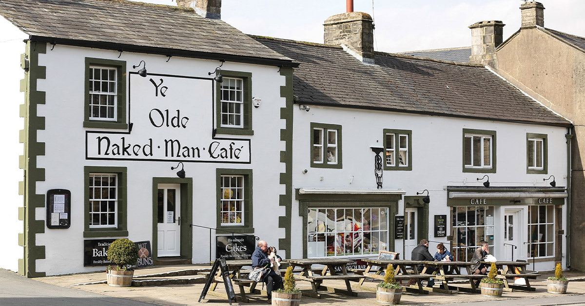
They all start and finish Pateley Bridge as that's where I head for to start the routes, plus there's an excellent pie shop just opposite the car park......
PS When looking at the routes, if anyone has any constructive ideas or suggestions (cafes, ‘must do roads’ and the like) to add to any of them, please do so in the thread. Please don’t though simply post, “That road is crap…..” as I’ll simply edit it out.
The fellow has been kind enough to share his suggestions, let’s encourage other people to do the same, rather snide snipes from a keyboard.
Thank you.
Richard
Last edited:


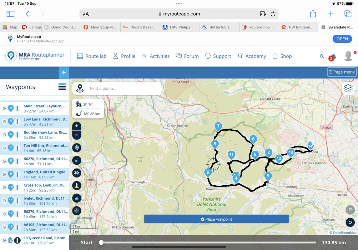
") As I mentioned previously, with the exception of Tan Hill and Buttertubs, my route is the less obvious and well known selection of roads and I still enjoy heading over that way. This was a couple of weeks ago with Mr Fox of this Parish and his amazing Falcone
As I mentioned previously, with the exception of Tan Hill and Buttertubs, my route is the less obvious and well known selection of roads and I still enjoy heading over that way. This was a couple of weeks ago with Mr Fox of this Parish and his amazing Falcone


