XT not recognised in BaseCamp on a Mac.... a possible answer and work around

I have take the liberty of copying and posting the guts of markbvt's post here.

After I got home this afternoon, I did a little digging and experimenting and discovered a number of things that have completely solved my connectivity worries. So for anyone else on a Mac, here's what you'll want to know.

The Zumo XT is apparently an Android device. It cannot be mounted as a drive in the Mac Finder. But a USB connection can be recognized by certain apps -- BUT only one at a time. So plug in the XT via USB, and Garmin Express will recognize it without issue (and automatically, if you have its icon up in your menu bar). But no other app can see it at the same time.

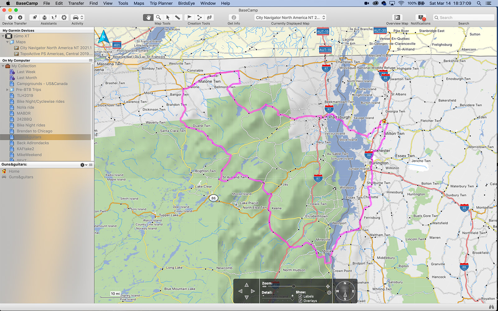
If you quit out of Express (not just the app, also the Garmin Express Service -- click on the triangle icon in your menu bar and select Quit), you can then open Basecamp and it will see the XT and make it available (see screenshot below). You can use Basecamp as normal and transfer data in the usual way.

basecamp-xt-screen.jpg


Another option is to use the Android File Transfer app on macOS to access the XT's filesystem (again, you have to quit out of Express, Basecamp, etc first). Then you can drop a GPX file directly onto the XT, or retrieve screenshots or whatever from the XT.

As I've mentioned before, going through the Garmin Drive iOS app also works well. This will let you share a GPX file to the XT, and you can also share a recorded track from the XT back to the Drive app (from which you can subsequently Airdrop it to your Mac). The one drawback here is that there's no way of retrieving any screen shots you've saved -- only way I've found to do that is through Android File Transfer.
 
It is not a matter of Android/Mac. (I suspect also the other modern zumos run on a pretty custom version of Android).

What is happening is they don’t support “mass storage mode” anymore.
Same is happening with GoPros and some modern cameras, so they are not mounted as a disk.

They act as MTP devices.
One quick test can be done opening “Image Capture” to check if it “sees” the connected Zumo.
 
I received my XT today.

I have to correct what I wrote above. I was very wrong.
They don't act as MTP devices. They just don't work on the Mac. It is fucking bullshit and Garmin should have made this clear(er) in the product specs.

I have a number of maps I normally install manually on my GPS and now trying a workaround that doesn't include using a virtual machine if Android File Transfer doesn't work.


POST IS CORRECTED LOWER DOWN IN POST #6
 
Last edited by a moderator:
I received my XT today.

I have to correct what I wrote above. I was very wrong.
They don't act as MTP devices. They just don't work on the Mac. It is fucking bullshit and Garmin should have made this clear(er) in the product specs.

I have a number of maps I normally install manually on my GPS and now trying a workaround that doesn't include using a virtual machine if Android File Transfer doesn't work.

Really ... mine does.

I love it and I use a Mac. Only one connection at a time. I can live with that.
 
Ye. Sorted now. Android File Transfer works fine. I just panicked for 15 mins before managing to have it all working.
I don’t mind the one connection at a time minor inconvenience. I agree.

Still, would have appreciated more clarity from Garmin as it is a big-ish change in behaviour between different products in the same product line (zumo).

Top man :okay
 
There is a minor snafu in using Android File Transfer on Mac and the Zumo.

Android File Transfer, AFT for friends, is a pretty basic utility (read: it could have been done a bit better) and automatically installs a listener in the background that runs continuously to check if an Android device is connected via USB and then launches AFT.

Problem is: the Zumo can connect to one software at a time.
So you connect the Zumo to the Mac to use it with Basecamp, AFT autolaunches... you see where I am going.

Disabling the autolaunch feature for AFT is fiddly at best.


I'm probably shelling an extra 20 quid for a license for Commander One: https://mac.eltima.com/file-manager.html
There is also MacDroid, that is actually neater that Commander One, but I'm not a big fan of subscription payments for these type of utilities, so I'll pass. It is here anyway: https://www.macdroid.app/
 
Interesting discussion - particularly relating to use with Mac compatibility. I'm about to update my aging 550 and have been debating whether to go for the 595LM (now 4 years old by design but appears to have some advantages,) or the XT which is all faster, bigger better screen but is all Bluetooth connectivity. I've never found BT completely reliable but apparently this is better. Presumably you guys who have bought one already still stand by the decision and its better?
 
XT.

Just read the above. There is a couple of small things to take care of.
 
XT.

Just read the above. There is a couple of small things to take care of.

Sorry to raise this again - just got an XT and I'm having the basecamp crash problem with a Mac. I'm on Mojave, if that makes a difference.

So, here's the sequence:

1) Plug in Zumo which switches to file transfer mode
2) Android File transfer starts up - exit that
3) Open Garmin Express - Zumo shows up as connected to Garmin express
4) Close down Garmin Express
5) Open Basecamp, which promptly crashes

What am I missing?
 
Have you updated Basecamp.
If your Mac is running on BigSur there are a few incompatibilities.
 
Have you updated Basecamp.
If your Mac is running on BigSur there are a few incompatibilities.

Basecamp is up to date, showing 4.8.11.

I'm still on Mojave, as I don't want to give up my 32 bit apps (mostly Havana)
 
I'm still on Mojave

Good.

Not sure about the reason of the crash.
Try opening BaseCamp and connecting the Zumo after Basecamp is open. Zumo should startup and go into USB mode on its own. Basecamp should recognise it shortly after that.
 
Good.

Not sure about the reason of the crash.
Try opening BaseCamp and connecting the Zumo after Basecamp is open. Zumo should startup and go into USB mode on its own. Basecamp should recognise it shortly after that.

You beauty!

I’d hoped the Topo maps would be a bit more detailed, but I think you can add OSM maps too, maybe even the Garmin Topo maps like Topo Portugal.

Next I need to figure out how to navigate a track with it.

fae2905b902174727b5deaf67f7e820c.jpg


Sent from my iPhone using Tapatalk
 
5c31b6d37254a4a3e114c23595f17856.jpg


Maps ready to install with MapInstall.

You’re right, the trick is to open the app like BC or MapInstall then plug the unit in.


Sent from my iPhone using Tapatalk
 
I’d hoped the Topo maps would be a bit more detailed, but I think you can add OSM maps too

Yes. The garmin topo maps are ok, but OSM maps have more detail, as we discussed on the other thread.
I'd be curious to see an XT displaying the raster Ordnance maps too.

the trick is to open the app like BC or MapInstall then plug the unit in

Ye, the XT will "mate" with the first app available that is expecting a connection.

I need to figure out how to navigate a track with it

Define "navigate"?
I usually keep the track higlighted on the map and just follow it by checking the screen every once in a while :)
Not sure you can get any alerts with tracks.
 
Doesn’t work with UK OS maps, nor I think with the Garmin Topo maps - maybe they are all dual layer raster/vector.

I’ve tried with a GB Discoverer card also a GB Topo Pro.

GB Topo Pro shows on the map list in the device, but only seems to show the vector data, not the OS raster overlay - certainly doesn’t look like an OS map, anyway

e2cef23547efddc181a7ea7175164539.jpg


Sent from my iPhone using Tapatalk
 
Yes. The garmin topo maps are ok, but OSM maps have more detail, as we discussed on the other thread.
I'd be curious to see an XT displaying the raster Ordnance maps too.


Ye, the XT will "mate" with the first app available that is expecting a connection.


Define "navigate"?
I usually keep the track higlighted on the map and just follow it by checking the screen every once in a while :)
Not sure you can get any alerts with tracks.

On the Montana, I do this:

Where to>tracks>select track>go, then I get a fat magenta line to follow, and the dashboard gives me miles remaining on the track.

On the XT, it seems to work on trips. I’ve imported some tracks, but it can’t convert the track to a trip. It will navigate me to the start of a track, so I guess then I just show the track on screen and follow it?


Sent from my iPhone using Tapatalk


Back
Top Bottom